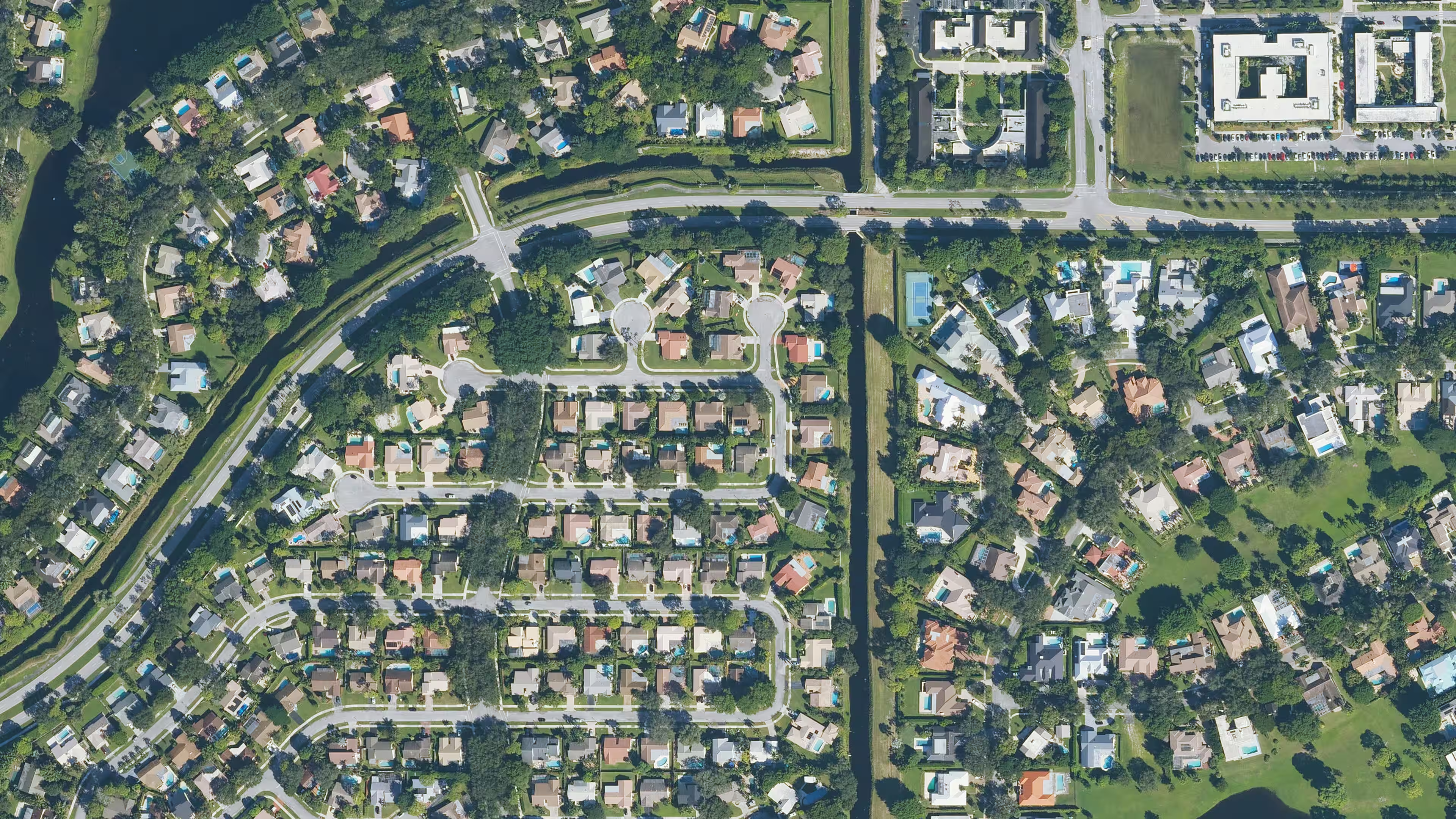
Two neighboring counties can publish the same number of parcel records and very different attributes. One may provide building area, sale history, and parcel polygons on nearly every record. Another may publish a smaller assessment table with no geometry.
This is normal for locally produced public records. It is also why a nationwide record needs both consistent field names and county-level presence measures.
Source systems collect different facts
An assessor’s required fields follow state law, local practice, and the software used by the office. A separate GIS department may publish boundaries. Sales data may come from a recorder feed. Flood zones and building footprints are outside enrichments joined after the source record is standardized.
If the upstream source never publishes a building year, normalization cannot create a verified building year. PropertyLayer leaves the standardized field null.
Presence is not accuracy
Field presence answers a narrow question: what share of records contains a non-null value for this field? It does not confirm that every value is current or correct.
A 99% owner-name presence rate means almost every record has text in that field. It does not mean the text identifies every beneficial owner or reflects a deed recorded yesterday. The same distinction applies to addresses, assessed values, sale fields, and geometry.
Null values carry information
Replacing missing source values with zero, an empty string, or an estimated value can make a file look complete while changing its meaning. PropertyLayer uses null for a value the source did not provide. Zero remains a separate value when the source actually reports zero.
That difference matters in analysis. A missing building area should not be grouped with a reported zero-square-foot improvement. A missing sale price should not become a no-consideration transfer.
Standardization makes differences measurable
A common schema lets the same query run across counties. It does not erase the differences between those counties. Instead, it makes them visible in consistent columns and presence rates.
Before using a field across a large geography:
- Set the minimum fields for the decision.
- Review county-level presence for those fields.
- Inspect samples for values, units, and coding conventions.
- Decide how the workflow handles nulls and older source dates.
- Keep the accepted coverage criteria with the model or application release.
The data page groups the standardized record fields and explains source versus enriched values. Current county measures are listed in the coverage directory.
The International Association of Assessing Officers maintains technical standards covering assessment data quality, cadastral maps, parcel identifiers, and related administration.